What Colorado’s Fishing Atlas Shows You
Trying to find a new fishing spot in Colorado, or even just figure out where you can legally cast a line without trespassing, can feel like navigating a maze blindfolded. Between public lands, private stretches, differing regulations for every body of water, and knowing where the fish actually are, it’s enough to make even a seasoned angler throw up their hands. This comprehensive guide is designed to demystify one of the most powerful tools available to Colorado anglers: the Colorado Fishing Atlas.
What Exactly is the Colorado Fishing Atlas?
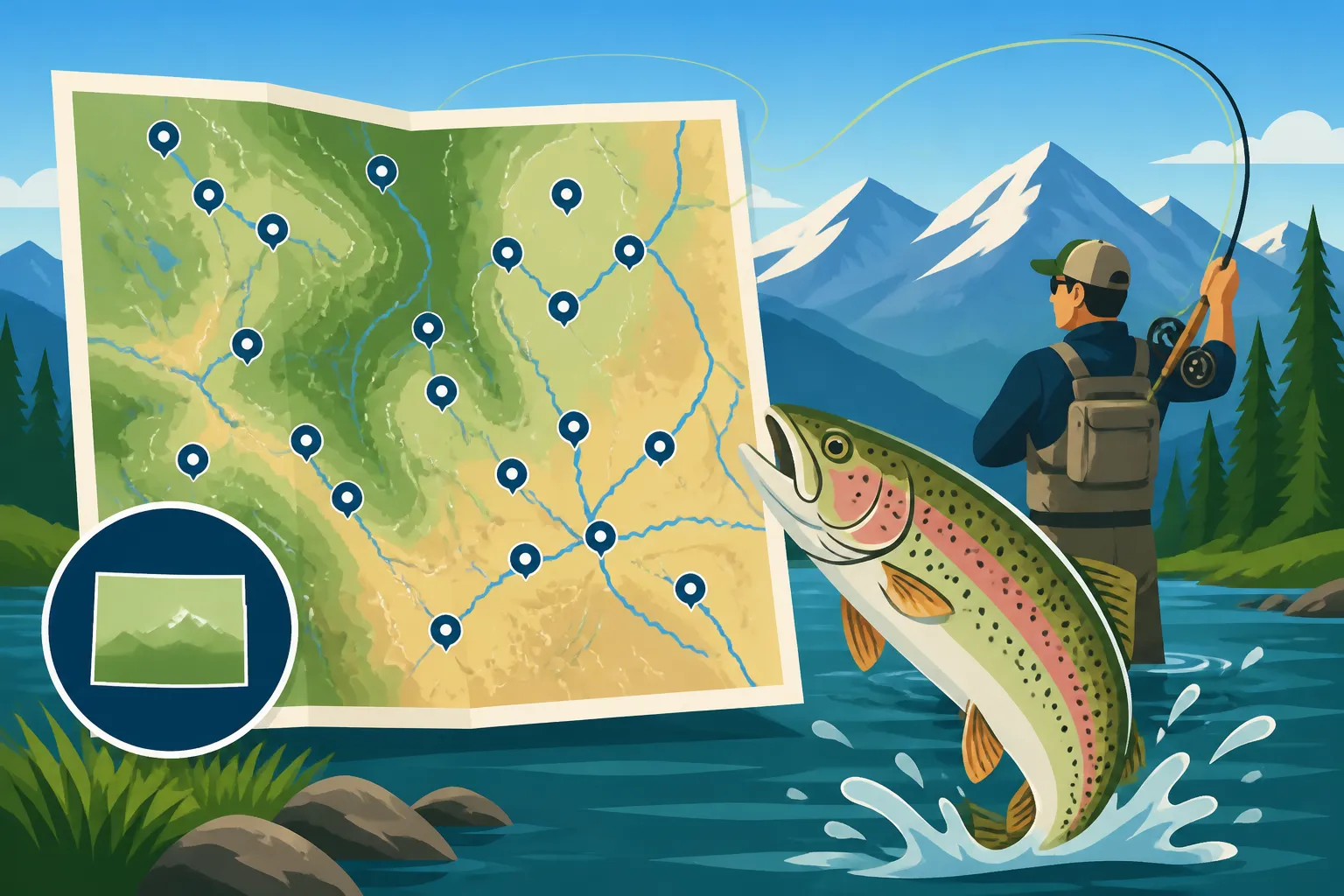
The Colorado Fishing Atlas isn't just a fancy digital map; it's an incredibly robust, interactive online resource provided by Colorado Parks and Wildlife (CPW) that centralizes a wealth of information for anglers. Imagine having a personal fishing scout that knows every public access point, every significant body of water, and even what fish species you can expect to find, all at your fingertips. That's essentially what the Atlas aims to be. It's designed to take the guesswork out of trip planning and help you spend more time fishing and less time worrying about where to go or if you're breaking a rule.
A Powerful Resource from Colorado Parks and Wildlife
At its core, the Fishing Atlas is CPW's answer to a common angler's dilemma: how do I find reliable, up-to-date information about fishing opportunities across a vast and diverse state? Before the Atlas, you'd be sifting through paper maps, various county land records, and the always-daunting official regulations brochure, trying to piece together a coherent plan. The Atlas streamlines this entire process, consolidating data on public access, land ownership, species presence, stocking schedules, and special regulations into a single, user-friendly platform. It's constantly updated, reflecting changes in stocking, access, and even temporary closures, making it an invaluable, dynamic tool.
More Than Just a Map: It's an Information Hub
While it looks like a map, the Atlas functions as a comprehensive database that's spatially organized. This means that every creek, river, lake, and reservoir on the map is linked to a detailed profile that provides critical information. For instance, clicking on a specific reservoir might tell you if it's open for ice fishing in winter, if there are boat ramps available, or even if it's part of the Urban Fishing Ponds in the Denver Metro program. It’s about empowering anglers with knowledge, reducing frustration, and ultimately enhancing the fishing experience for everyone from novice bait fishers to experienced fly anglers.
Navigating the Atlas: Key Features and How to Use Them
When you first open the Colorado Fishing Atlas, it might seem a little overwhelming with all the different icons and layers. But don't worry, it's designed to be intuitive once you understand its basic structure. The real power lies in its interactive layers and robust search functions, which allow you to customize the information displayed to suit your specific needs.
Understanding the Interactive Layers
The Atlas operates on a system of interactive layers, much like stacking transparent sheets of information on top of a base map. You can turn these layers on or off to reveal different types of data. This customization is crucial because you might not need to see all information at once.
Let's look at some of the most helpful layers:
- Public Lands: This layer is a game-changer for identifying where you can legally access water. It uses color-coding to show federal lands (like National Forests or BLM land), state lands (like State Parks or State Wildlife Areas), and private land. Knowing this helps you plan your approach and avoid trespassing, which is a major concern for many anglers, especially when exploring new areas. For example, if you're looking to explore a section of the Colorado River Fishing From Glenwood Canyon to Kremmling, this layer will highlight accessible stretches.
- Fishing Opportunities: This layer often uses different colored pins or symbols to indicate various types of fishing opportunities. You might see symbols for Gold Medal Waters, warm water fisheries, cold water fisheries, or even specific species opportunities. This is incredibly useful if you're targeting a particular type of fish, like walleye, or if you prefer the challenge of a Gold Medal Water.
- Stocking Locations & Schedules: For many, especially those who enjoy catching trout, the stocking report is gold. The Atlas integrates this directly, allowing you to see which bodies of water have been recently stocked, what species were planted, and sometimes even the size of the fish. This is a more visually engaging way to "Read Colorado's Weekly Stocking Report" than just a spreadsheet.
- Boat Ramps & Access Points: If you're planning to launch a boat, kayak, or even just need to know where designated parking areas are, this layer is essential. It pinpoints locations for boat launches, hand-carry access, and parking, saving you precious time driving around looking for a suitable spot.
Searching and Filtering for Your Ideal Spot
Beyond just toggling layers, the Colorado Fishing Atlas offers powerful search and filtering capabilities. You can search by specific water body names, like "Blue Mesa Reservoir," or by general location, like "near Buena Vista."
The filtering options are where you can really narrow down your choices:
- Species: Looking specifically for Kokanee Salmon Fishing in Colorado or perhaps trying to find a good spot for bass? You can filter the map to only show waters known to hold your target species.
- Fishing Type: Whether you're a fly fisher, spin fisher, or prefer ice fishing, you can filter by preferred technique. This is super handy if you're planning an ice fishing trip and only want to see reservoirs with reliable ice.
- Amenities: Need a boat ramp, a campground nearby, or ADA-accessible fishing piers? You can filter for these amenities to ensure the spot meets all your practical needs for a comfortable trip.
- Special Regulations: This filter helps identify waters with unique rules, such as catch-and-release only sections or areas with specific bait restrictions. This ties directly into understanding "Colorado Fishing Regulations Every Angler Should Know" for a particular location.
Using these search and filter tools together allows you to quickly sift through the state's vast fishing opportunities and pinpoint locations that match your exact criteria. It's like having a personalized travel agent for your fishing adventures, making finding "Colorado's Best Fishing Spots by Region" a breeze.
Unlocking Critical Fishing Information
The true value of the Colorado Fishing Atlas emerges when you dig into the detailed information available for each specific fishing opportunity. It's not enough just to know where a lake is; you need to understand the specifics of that location to fish it effectively and legally. The Atlas provides a comprehensive snapshot for almost every fishable water body in Colorado.
Pinpointing Access and Amenities
One of the biggest headaches for anglers, especially those new to an area, is finding legitimate access points. The Atlas shines here by clearly outlining public access. When you click on a specific body of water or a pin on the map, a pop-up window or sidebar will often appear, detailing important access information.
For example, if you're planning a trip to the Fryingpan River Below Ruedi Reservoir, a notorious Gold Medal Water, the Atlas will show you precisely where public parking lots are, where you can walk-wade, and any specific areas that might be restricted. It often includes details about:
- Parking Areas: Designated spots where you can safely leave your vehicle.
- Boat Ramps/Launches: Critical for those fishing from a boat. It even differentiates between motorized and non-motorized access.
- Walk-in Access: Identifying trails or paths that lead to public fishing stretches, often indicating the length of the walk.
- ADA Accessibility: For anglers with disabilities, this highlights spots with accessible piers or platforms, ensuring everyone can enjoy the sport.
- Nearby Facilities: Sometimes it will even point out restrooms, picnic areas, or nearby camping options, making your outing more comfortable.
This level of detail helps prevent wasted time driving around or inadvertently trespassing, which is a common concern on many popular rivers, especially those with mixed public and private ownership.
Decoding Regulations and Special Rules
Understanding "Colorado Fishing Regulations Every Angler Should Know" is paramount, and these rules can vary wildly from one body of water to the next. The Atlas doesn't replace the official regulations brochure entirely, but it acts as a quick-reference guide specific to the location you're viewing.
When you select a fishing spot, the Atlas will typically provide a summary of the most pertinent regulations for that particular water, which might include:
- Bag and Possession Limits: How many fish of a certain species you can keep daily, and how many you can have in your possession. This is crucial for avoiding penalties for "Colorado Penalties for Keeping Over-Limit Trout."
- Bait Restrictions: Whether bait is allowed, or if it's fly and lure only, or even if specific types of bait are prohibited. For instance, it will highlight "Barbless Hook Rules on Colorado Rivers" or "Colorado Bait Restrictions and Where They Apply" for certain Gold Medal stretches.
- Length Restrictions: Minimum or maximum size limits for keeping certain species. For example, the Atlas will clearly show "Colorado's 14-Inch Trout Length Rule" on applicable waters.
- Season Dates: If there are specific times of year when a water body is closed or has different regulations, the Atlas will usually note this.
Always remember that while the Atlas is incredibly helpful, it's always a good idea to cross-reference with the most current official CPW regulations brochure, which you can often find online or pick up at any license vendor. This ensures you have the absolute latest and most detailed legal information.
Discovering Fish Species and Stocking Information
What good is knowing where to fish if you don't know what you're likely to catch, or if the water has enough fish to make it worth your while? The Colorado Fishing Atlas provides insights into both.
- Expected Species: For each water body, the Atlas often lists the predominant fish species you can expect to encounter. This is incredibly useful if you're targeting specific fish, like Lake Trout Fishing in Colorado at Blue Mesa or Walleye Fishing in Colorado in Front Range reservoirs. This information helps you choose the right tackle and techniques.
- Stocking History: The Atlas can show recent stocking data, including the date, species stocked, and sometimes the number and average size of fish. This helps you plan trips to recently stocked waters, especially popular trout ponds near urban areas. It's a much more visual and interactive way than just reading a dry table from the "Reading Colorado's Weekly Stocking Report." Knowing a water was just stocked can significantly increase your chances of success, especially for younger anglers or those new to fishing.
By combining the species information with the regulations, you can get a holistic view of what to expect and how to approach your fishing trip, moving beyond just guesswork.
Beyond the Basics: Advanced Tips for Maximizing the Atlas
The Colorado Fishing Atlas is a powerful tool, but like any sophisticated resource, it has a learning curve. Once you're comfortable with the basic functions, there are several advanced strategies you can employ to truly leverage its capabilities and enhance your Colorado fishing adventures.
Strategic Trip Planning with Multiple Layers
Don't just look at one layer; combine them! For instance, if you're planning a multi-day trip, you can use the "Public Lands" layer to identify a promising river stretch, then overlay the "Fishing Opportunities" layer to confirm it's a cold-water fishery with good trout populations. Next, activate the "Boat Ramps & Access Points" layer to see where you can put in your raft or simply park your vehicle for walk-wading.
Consider this scenario: You're hoping to find a less crowded spot to fish for Brown Trout in Colorado, Where They're Wild during fall. You might start by looking at less accessible areas on the map, using the public lands layer to confirm legal access. Then, you'd check the "Fish Species" info for those waters to ensure brown trout are present. Finally, you might use the "Amenities" filter to find a primitive campground nearby, making it a perfect multi-day backcountry adventure. The Atlas can help you piece together complex itineraries that combine fishing with other outdoor activities, like hiking or camping.
Cross-Referencing with Other Resources
While the Atlas is fantastic, it's always a good idea to cross-reference its information with other reliable sources for the most comprehensive trip planning.
- CPW Regulations Brochure: As mentioned, always consult the full Colorado Fishing Regulations Every Angler Should Know brochure for the most detailed and legally binding rules. The Atlas provides a summary, but the brochure is the definitive guide. You can find digital versions on the CPW website or pick up a physical copy wherever you buy your fishing license, like at a local Walmart or through an online retailer like Amazon.
- Local Fly Shops/Outfitters: These local experts have real-time knowledge of water conditions, recent hatches, and where the fish are biting right now. A quick call or visit to a fly shop in a town like Silverthorne for the Blue River, or Basalt for the Fryingpan, can provide invaluable, immediate insights that even the best digital map can't replicate. Many shops even have detailed maps they’ve created, complementing the Atlas perfectly.
- USGS Stream Gauges: For river anglers, real-time flow data is crucial. Websites like the USGS provide stream gauge data showing current water levels and flows. High water during Colorado's Spring Runoff Hits and How to Fish Around It might mean one section is unfishable, while another tailwater section could be perfect. The Atlas can show you where the river is, and the USGS gauge tells you how the river is flowing.
- Weather Forecasts: Always check the weather for your chosen fishing spot. Mountain weather can change rapidly, and being prepared for rain, snow, or sudden temperature drops is essential for safety and comfort.
By combining the broad overview of the Atlas with these specific, real-time resources, you can create a truly well-informed and adaptable fishing plan.
Using the Atlas on Your Mobile Device in the Field
The Colorado Fishing Atlas is web-based, meaning you can access it from your smartphone or tablet while you're actually out fishing. This is a game-changer for on-the-spot decision-making.
Imagine you're at a reservoir, and you've found a promising cove. You can pull up the Atlas, drop a pin on your exact location, and immediately see if you're on public land, what the depth contours might look like, or if there are any specific regulations tied to that micro-area. You can quickly double-check bag limits for an unfamiliar species you just caught, or confirm if that small creek you stumbled upon has public access upstream. Just make sure your phone is charged and consider a protective, waterproof case, which you can easily find on Amazon, for those unexpected splashes or drops. Having the ability to "Show Your Colorado Fishing License in the Field" digitally is also a huge convenience.
The Atlas effectively eliminates the need to carry cumbersome paper maps or multiple brochures. It empowers you to make informed decisions in real-time, greatly enhancing your safety, legal compliance, and overall fishing success.
Disclaimer
The information provided in this guide is for general informational purposes only and is not intended as legal advice regarding fishing regulations. While every effort has been made to provide accurate and up-to-date information, fishing regulations and conditions in Colorado can change frequently. Always consult the official Colorado Parks and Wildlife (CPW) regulations brochure, available on the CPW website or from licensed vendors, before engaging in any fishing activity. Always verify local conditions and rules for your specific fishing location.