How to Find Drop-Offs on a Colorado Reservoir
Ever stared out at the vast expanse of a Colorado reservoir, feeling completely overwhelmed by its sheer size, wondering where on earth the fish could possibly be hiding? It’s a common frustration, especially when you know there are monsters lurking beneath, but the water looks like an endless, featureless pond. This guide is dedicated to unraveling that mystery, showing you how to pinpoint those crucial underwater drop-offs where fish love to congregate, giving you a real edge in your next angling adventure.
What Exactly Are Drop-Offs and Why Are They So Important?
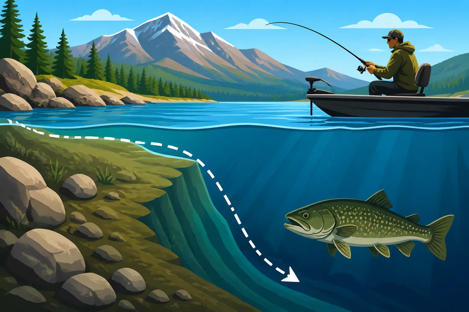
Let's start with the basics. A drop-off, in fishing terms, is essentially any area where the bottom contour of a lake or reservoir changes depth rapidly. Think of it like a cliff or a steep hill underwater. It's not just a gradual slope; it's a distinct transition from shallower water to deeper water, often with varying degrees of steepness. These features might seem insignificant from the surface, but to fish, they are absolute magnets, acting as underwater highways and feeding grounds.
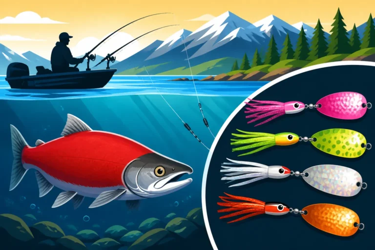
The reason fish are drawn to these submerged structures is multifaceted and deeply ingrained in their survival instincts. Drop-offs offer a perfect combination of shelter, ambush points, and access to a diverse range of conditions and food sources. For a cautious lake trout, a steep drop-off provides a quick escape route to deeper, cooler water if a predator (or a persistent angler) gets too close. For a hungry walleye, the edge of a submerged channel leading into a drop-off offers an ideal spot to lie in wait, ambushing baitfish moving between different depths. Even schooling kokanee salmon will often relate to the thermocline that forms along these depth changes, finding comfortable water temperatures and concentrated plankton.
The Science Behind Fish Holding on Structure
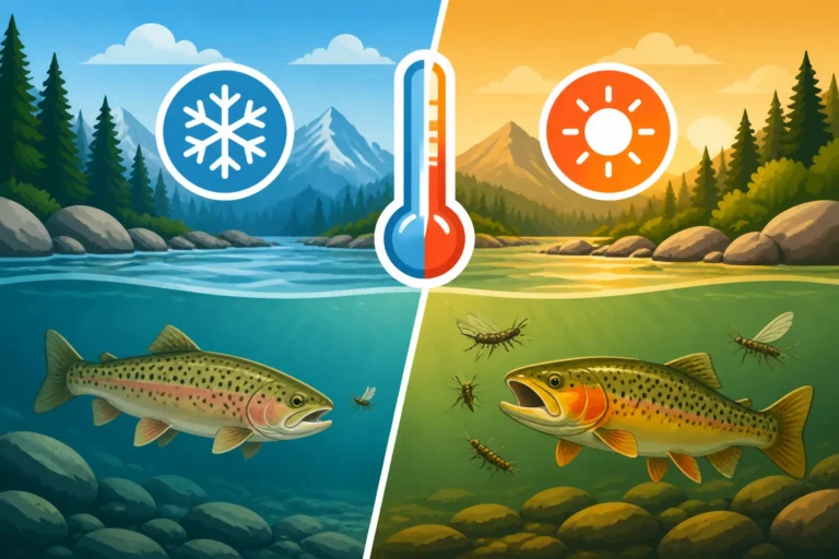
Beneath the surface of those beautiful Colorado reservoirs, a lot more is going on than meets the eye. Thermal stratification, for instance, plays a huge role. In summer, reservoirs often form distinct layers: a warm surface layer (epilimnion), a transition layer where temperature changes rapidly (thermocline), and a cold, deep layer (hypolimnion). Drop-offs, by their very nature, intersect these layers, offering fish the ability to move vertically through different temperatures with minimal effort. This means they can quickly seek out their preferred comfort zone, whether it's the cooler water to digest a meal or warmer water for increased activity.
Beyond temperature, oxygen levels and prey movement are critical. The deeper parts of the hypolimnion can sometimes become oxygen-depleted, especially in late summer, pushing fish higher into the water column or towards areas with better oxygenation. Drop-offs, particularly those with currents or inflowing creeks, can be hotspots for refreshed oxygen. More importantly, these abrupt changes in depth create natural funnels and ambush points for baitfish. Imagine schools of minnows moving along a shallower flat; when they encounter a sudden drop, they're often forced to concentrate, making them easy targets for predatory fish lurking just over the edge. These structures become veritable cafeterias for bigger game fish.
Different Types of Drop-Offs
Not all drop-offs are created equal, and understanding their variations can help you read the water better. Some are subtle, a gentle but noticeable transition from perhaps 10 to 20 feet. These might be less dramatic but can still hold fish, especially if they lead to a deeper flat or saddle. Other drop-offs are incredibly dramatic, plunging from 15 feet to 50 feet in a very short distance, almost like a sheer underwater cliff face. These aggressive drops are often found along old river channels or points that extend into the main body of the reservoir.
The composition of the drop-off also matters. A rocky drop-off, typical of many mountain reservoirs, provides abundant cover in the form of crevices and boulders, attracting trout and smallmouth bass. A soft, muddy drop-off, often found in shallower, warmer reservoirs, might appeal more to catfish or walleye, especially if it's adjacent to an old creek bed where food accumulates. Main lake drop-offs, those that run parallel to the shore in the main body of the reservoir, are often deep-water highways. Drop-offs within coves or bays, on the other hand, can be crucial staging areas for fish moving in and out to spawn or feed on shallower flats. Each type of drop-off attracts different species or different behaviors, so learning to identify them is key.
Old School Tactics: Reading the Water and Topographic Maps
Before the advent of advanced electronics, anglers relied heavily on keen observation and detailed maps to find productive spots. These "old school" tactics are still incredibly effective today, especially when you're exploring new water or if your electronics decide to take a day off. They connect you to the environment in a fundamental way that screens sometimes can't. Knowing how to read the visible cues on the surface and interpret contours on a map can often reveal prime drop-off locations before you even launch your boat.
Visual Cues from the Shoreline
When you arrive at a Colorado reservoir, take a moment before you even cast a line to observe the surrounding landscape. The shoreline often gives away what's happening beneath the surface. Look for areas where the land slopes steeply down into the water. If you see a cliff or a sharp embankment on shore, chances are that same dramatic topography continues underwater, creating a steep drop-off. Conversely, a long, flat, gently sloping shoreline usually indicates a gradual, shallow bottom extending far out into the reservoir.
Pay attention to vegetation, too. Aquatic weeds often grow in shallower, flatter areas. The edges of these weed beds can sometimes align with a drop-off, especially if the weeds suddenly disappear as the depth increases. Even the water's surface can offer clues: subtle changes in current flow, areas of calmer water next to choppy areas (especially if there's wind), or even differences in water color can sometimes indicate a change in depth or bottom structure. While these are not foolproof indicators, they are excellent starting points for narrowing down your search in a big body of water.
Deciphering Topographic Maps (and Why They're Still King)
For many veteran anglers, a good topographic map of a reservoir is like a treasure map for fish. These maps, whether in printed form or digital versions on a chart plotter, display contour lines that represent changes in underwater elevation. Learning how to interpret these lines is arguably one of the most powerful "old school" skills you can possess. Tight contour lines indicate a steep drop-off – the closer the lines are together, the faster the depth changes. Conversely, widely spaced lines show a gradual slope.
Your mission, should you choose to accept it, is to look for distinct features:
- Old River Channels: Reservoirs are often created by damming rivers. The original river channel remains the deepest part of the reservoir, and its edges are essentially long, continuous drop-offs. These are prime fish highways.
- Submerged Humps and Points: Look for contours that form a hill or a finger extending out from shore. Fish will congregate around these structures, using the deeper sides as cover and the shallower tops as feeding grounds.
- Saddles: These are low points between two higher features (like two humps or points). Fish often travel through saddles, especially during feeding migrations.
- Creek Beds: Before a reservoir was flooded, there were likely numerous small creeks feeding into the main river. These creek beds now form subtle depressions or channels, their edges creating smaller, but equally productive, drop-offs.
You can often find detailed paper maps at local tackle shops or through online retailers like Amazon. Even with fancy electronics, reviewing a topo map before you launch helps you develop a strategic plan, rather than just aimlessly driving around. This foundational knowledge is key to understanding Reading Water on a Colorado Freestone River and applying it to larger bodies of water.
Modern Technology: How Your Electronics Can Help
While old-school methods are fantastic, modern fish-finding electronics have revolutionized the way we locate underwater structure. They take the guesswork out of reading subtle surface cues and give you a clear picture of what lies beneath your boat. If you’re serious about maximizing your time on the water, especially on large Colorado reservoirs, investing in and understanding your electronics is a game-changer. These tools don't just show you fish; they reveal the entire underwater landscape.
Understanding Your Fish Finder and Sonar Settings
Your fish finder is your most valuable ally in the hunt for drop-offs. Modern units offer a variety of sonar views, and knowing how to use them is crucial:
- 2D Sonar: This is your traditional, cone-shaped sonar beam. When you pass over a drop-off, you'll see the bottom line on your screen quickly change depth. Adjusting the sensitivity is key here; too low, and you'll miss subtle changes; too high, and you'll get too much clutter. Use a higher frequency (like 200 kHz) for sharper detail in shallower water, and a lower frequency (like 50 kHz) for better depth penetration when hunting deep lake trout on big reservoirs like Blue Mesa. You can even sometimes spot individual fish holding right on the edge of the drop.
- Down Imaging (or DownVu/ClearVü): This technology provides a picture-like view directly beneath your boat, making it easier to identify structure. Drop-offs will appear as sharp, realistic changes in the bottom contour, often revealing rocks, timber, or even schools of baitfish congregated along the edge. The clarity can be astounding, helping you discern whether a drop is smooth or jagged.
- Side Imaging (or SideVu/StructureScan): This is perhaps the most powerful tool for actively searching for drop-offs and other structure. Side imaging sends beams out to the sides of your boat, allowing you to scan a much wider area than 2D or Down Imaging. You can literally "see" a drop-off running parallel to your boat, or identify submerged points and humps far off to the side. This saves an incredible amount of time, as you don't have to drive directly over every piece of potential structure. Learning your Best Sonar Settings for Locating Lake Trout can dramatically improve your success.
GPS and Mapping Software
Modern fish finders are almost always paired with GPS and detailed mapping software, and this combination is indispensable for finding and returning to drop-offs. The GPS allows you to accurately mark waypoints when you find a promising drop-off on your sonar. This means you can return to that exact spot later, or even cast to it from a distance. You can also track your boat's path, helping you remember which areas you've already scanned.
The mapping software built into your unit, or detailed charts you can purchase, often come pre-loaded with high-definition contour maps of many Colorado reservoirs. These digital maps are essentially dynamic topographic maps, allowing you to zoom in and see underwater features with incredible detail. You can visually identify old river channels, submerged roadbeds, humps, and steep drop-offs long before you even get on the water. Some units even allow for "live mapping" where you can create your own detailed contour maps as you drive around, continuously updating the depth information. This is particularly useful for smaller, less-mapped reservoirs or for finding subtle changes that might not be on standard charts. Look for units from brands like Garmin, Lowrance, or Humminbird, which often offer these advanced mapping features.
On-the-Water Strategies for Pinpointing Drop-Offs
Having the right gear is one thing, but knowing how to use it effectively once you're on the water is where the real skill comes in. It's about combining your knowledge of maps, your visual observations, and your electronic readings into a cohesive search strategy. Forget random casting; a systematic approach will yield far better results when you're targeting those elusive drop-offs. This method is crucial whether you're interested in Lake Trout Fishing in Colorado or chasing Walleye Fishing in Colorado.
The "Grid Search" Method
When you're trying to locate drop-offs on a large, unfamiliar reservoir, a systematic "grid search" or "fan search" pattern with your boat is highly effective. Instead of just driving in a straight line, pick an area you suspect holds a drop-off (perhaps based on a topo map or shoreline features) and begin making passes.
- Parallel Passes: If you suspect a long, linear drop-off (like an old river channel edge or a main lake point), make parallel passes with your boat, spaced appropriately for your Side Imaging range. If your Side Imaging covers 100 feet on either side, space your passes about 150-180 feet apart to ensure some overlap and full coverage. Watch your Side Imaging screen intently for those sharp changes in contour.
- Zig-Zag or Fan Passes: For areas where you're looking for more localized humps or irregular drops, a zig-zag or fan pattern can be more effective. Drive out from shore, then cut across an area, turn, and cut back, like mowing a lawn. This helps you cover the water thoroughly and from multiple angles, increasing your chances of identifying distinct features on your 2D and Down Imaging.
- Mark Waypoints: Every time your electronics mark a promising drop-off, mark a waypoint on your GPS. This allows you to return to that exact spot later, or to identify patterns of where fish-holding structure tends to be. Over time, you'll build up a personal map of productive spots on your favorite reservoirs, aiding your Trolling Techniques for Colorado Reservoirs.
Probing with Baits and Lures
Sometimes, the most sensitive piece of equipment you have is your fishing rod itself. Actively probing the bottom with certain baits and lures can provide invaluable feedback about depth changes and bottom composition, especially for subtle drop-offs that might be harder to discern on sonar alone. This tactile feedback often confirms what your electronics are showing or reveals something entirely new.
- Jigging Spoons and Heavy Jigs: Drop a heavy jigging spoon or a lead head jig to the bottom and slowly retrieve it, paying close attention to the feel. As you pull it up a slope, you'll feel more resistance; as it drops over an edge, you'll feel it fall freely before hitting the next depth. This is particularly effective for feeling out those distinct changes when you're Jigging for Lake Trout Through the Ice or in open water.
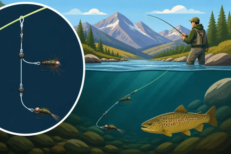
- Bottom Bouncers and Carolina Rigs: These rigs are designed to keep your bait near the bottom while minimizing snags. A bottom bouncer, commonly used for walleye, has a wire arm that drags along the bottom. When that arm suddenly drops or climbs, you know you've encountered a depth change. Similarly, a Carolina rig, with its weight sliding up the line ahead of the hook, allows you to feel changes in the bottom as the weight drags and falls.
- Crankbaits and Diving Lures: For shallower to mid-depth drop-offs, crankbaits with specific diving depths can be excellent feelers. If your crankbait is constantly hitting the bottom and then suddenly stops, you might be at the top of a drop-off. If it runs freely and then starts hitting, you might be climbing a slope. This method, while less precise, can help you cover water quickly and find general depth changes, especially when targeting Kokanee Salmon Fishing in Colorado.
Remember to use your rod tip as a sensitive instrument. The subtle ticks, scrapes, and changes in pressure it transmits can tell you a story about the underwater world, confirming the presence and nature of those valuable drop-offs.
Here’s a quick overview of how traditional and modern methods stack up for finding drop-offs:
| Method | Description | Pros | Cons | Best For |
|---|---|---|---|---|
| Shoreline Observation | Looking at land topography, vegetation, and water surface for clues. | No equipment needed, free, helps build intuition. | Less precise, limited range, weather-dependent visibility. | Initial scouting, small ponds, confirming map data. |
| Topographic Maps | Studying contour lines on paper or digital maps. | Highly accurate pre-trip planning, understanding general layout. | Can be outdated, doesn't show transient features (e.g., current thermocline). | Planning trips to Best Fishing Lakes Near Denver, Colorado, understanding reservoir structure. |
| 2D Sonar | Traditional fish finder beam showing bottom and fish directly below. | Good for depth, identifying fish, relatively inexpensive. | Narrow cone, misses side structure, can be cluttered. | Confirming a drop-off directly under the boat, finding fish. |
| Down Imaging | Picture-like view of bottom directly below the boat. | Excellent detail of structure, easy to interpret. | Limited to directly beneath the boat. | Identifying specific structures (rocks, timber) on a drop. |
| Side Imaging | Scans wide areas to the left and right of the boat. | Covers huge areas quickly, reveals hidden structure. | Steeper learning curve, requires boat movement. | Efficiently searching large sections of Fishing Colorado's Blue Mesa Reservoir, finding new spots. |
| GPS & Mapping | Marking spots and using detailed digital lake charts. | Pinpointing exact locations, navigating, recording productive spots. | Requires good quality map data, unit can be expensive. | Returning to proven drop-offs, detailed area exploration. |
| Probing with Lures | Feeling bottom changes through your rod tip with weights/baits. | Provides tactile feedback, good for subtle transitions. | Can be slow, less efficient for large areas, risk of snagging. | Confirming small, nuanced drop-offs, identifying bottom composition. |
No matter your chosen approach, remember that finding drop-offs is often a process of elimination and pattern recognition. The more you practice reading the water, understanding your electronics, and experimenting with probing techniques, the better you’ll become at unlocking the secrets of Colorado’s diverse reservoirs. Don't be afraid to combine methods, using a map to start, side imaging to search, and a jig to confirm. You'll be surprised at what hidden treasures you can find lurking just over that edge! For more details on species found in these depths, check out Colorado's Trout Species, A Field Guide.
Disclaimer
This article is for general informational purposes only and does not constitute professional advice. Laws, prices and regulations vary by location and change over time. Consult a qualified professional for guidance on your specific situation.